OSG Permanent Survey Marks
OFFICE OF THE SURVEYOR-GENERAL
Permanent Survey Marks
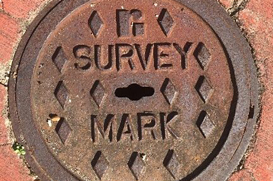
Permanent Survey Marks (PSMs) are valuable State geodetic infrastructure that underpin the surveying of property boundaries, development and construction activities, mapping and environmental monitoring. PSMs hold accurate coordinate and height information and provide the geodetic reference frame for surveying activities. PSMs enable surveyors to readily identify property boundaries and comply with legislation and project requirements, which improves the efficiency of surveying activities, reducing costs for industry and the community.
The Survey Operations Unit:
- is responsible for establishing and maintaining a network of PSMs, providing reliable reference points for surveyors to determine property boundaries and establish positioning for construction, mining and mapping
- maintains an enquiry system for survey mark information (South Australian Property and Planning Atlas - SAPPA).
Resources
- SA convention for the Australian Height Datum (AHD) Survey Control Network
- Preservation of Permanent Survey Marks
- Submission of PSMs coordinates
- Error reports
Voluntary provision of permanent survey mark data and coordinates fact sheet
Download PDF |
164 KB
Historical MGA94 coordinates
Download XLSX |
29.2 MB
More information

We acknowledge and respect Aboriginal peoples as the state's first peoples and nations, and recognise them as traditional owners and occupants of land and waters in South Australia. Further, we acknowledge that the spiritual, social, cultural and economic practices of Aboriginal peoples come from their traditional lands and waters, that they maintain their cultural and heritage beliefs, languages and laws which are of ongoing importance, and that they have made and continue to make a unique and irreplaceable contribution to the state. We acknowledge that Aboriginal peoples have endured past injustice and dispossession of their traditional lands and waters.